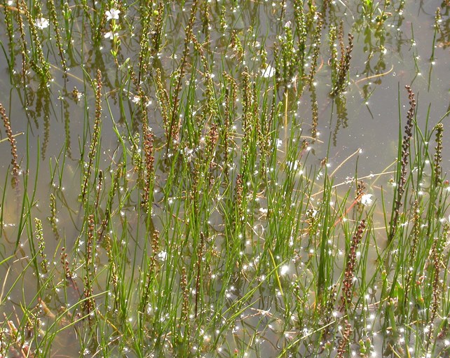
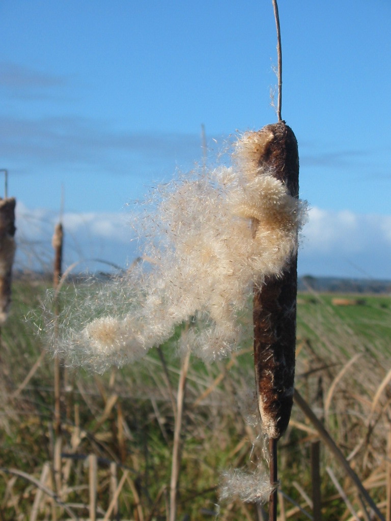
An understanding of how habitats are connected is important in conservation planning and management. ARI is undertaking an assessment of wetland habitat connectivity at the statewide scale to inform wetland policy development. Connectivity broadly refers to the ability of plants and animals to move across the landscape and reach suitable habitats. This movement helps sustain wetland biodiversity as it enables species to colonise new habitats, escape adverse conditions, and recolonise sites after local extinctions. In some species, dispersal is necessary to complete certain life stages. For example, some waterbirds and frogs move to different wetlands to breed.
This project will help identify which wetlands are connected across the landscape by the dispersal of plants and animals. To do this we need to consider the different ways plants and animals move among wetlands, the distances they can travel, and what factors limit their movement. For example, waterbirds and fish are very mobile, whereas plant seeds and invertebrate eggs rely on wind, water or waterbirds to disperse. The distances plants and animals move also differ greatly. Waterbirds can reach wetlands separated by long distances, whereas frogs move only short distances and probably only access nearby wetlands. In some cases the ability of organisms to move among wetlands has been disrupted by human activities. For instance, the drainage of wetlands for agriculture has increased the distances between wetlands, and the diversion of water from waterways has reduced the occurrence, duration and extent of floods, which are important in the dispersal of plants, fish and invertebrates.
Identifying which wetlands are connected by dispersal will inform management decisions. For example, an understanding of wetland connectivity will help identify sites that have strong connections to each other though dispersal and should be managed collectively, rather than as individual wetlands. Wetland connectivity can also be used to identify sites where restoration activities will have flow on benefits to other wetlands through improved dispersal. This project is being funded by DELWP's Natural Resources Investment Program.

For more information contact: kaylene.morris@delwp.vic.gov.au
The following reports are available:
- DELWP (2015) Wetland connectivity spatial data: user's guide. Version 1. Arthur Rylah Institute for Environmental Research Client Report for the Water and Catchments Group, Department of Environment, Land, Water and Planning, Heidelberg (PDF, 826.0 KB)
(accessible version (DOCX, 1000.2 KB)) - ARI Technical Report 241 - Wetland connectivity models (PDF, 5.5 MB)
(accessible version (DOC, 14.5 MB)) - ARI Technical Report 225 - Wetland connectivity, understanding the dispersal of organisms that occur in Victoria's wetlands (PDF, 899.7 KB)
(accessible version (DOC, 2.0 MB))
Page last updated: 17/12/19
