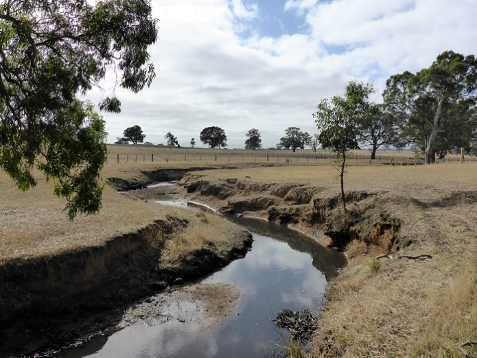
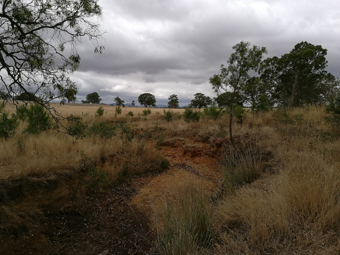
Riparian land, found at the interface between terrestrial and aquatic ecosystems, can support a diverse range of native plants and animals. It also provides important ecological functions including: improving water quality by filtering nutrients, pollutants and sediments; stabilising banks; and providing food and habitat for animals. Riparian land is frequently degraded by clearing, invasive plants and livestock grazing. Government agencies invest significant resources to carry out riparian management actions, or ‘interventions’, to prevent degradation or to improve the condition of our waterways.
The Riparian Intervention Monitoring Program (RIMP) is a state-wide, long-term program developed by DEECA (formerly DELWP) that assesses the impact and effectiveness of riparian management. RIMP examines three common management interventions aimed to improve riparian condition and manage bank erosion:
- weed control
- replanting of native vegetation and
- fencing to restrict livestock access.
Monitoring began in 2014 with the condition of treatment and control (unmanaged) sites assessed


before then after management interventions commenced. The program currently monitors 34 intervention and control site pairs across nine Catchment Management Authority regions.
Three years after management interventions were implemented, encouraging improvements in riparian condition have been observed at treatment sites including:
- a 41% decrease in bare ground
- a dramatic increase in the density of native woody plants
- a 76% increase in the number of native plant species.
Monitoring continues to track the response of riparian condition after 6 years, with further long-term monitoring proposed for 12 and 20 years after intervention to determine whether early gains are maintained over time or are lost through emerging threats such as weed invasion. The knowledge generated by the RIMP will help identify ways we can improve the effectiveness and efficiency of management interventions and better target future investment.
A summary of how sites have changed three years after management, as well as more information about RIMP, is detailed in the fact sheets below:
- Riparian Intervention Monitoring Program (RIMP) fact sheet - 2021 update (PDF, 1.0 MB)
(accessible version (DOCX, 6.6 MB)) - Riparian Intervention Monitoring Program (RIMP) fact sheet - update: improved riparian condition (PDF, 377.4 KB)
(accessible version (DOCX, 4.3 MB)) - Riparian Intervention Monitoring Program (RIMP) fact sheet - overview 2017 (PDF, 363.6 KB)
(accessible version (DOCX, 1.5 MB))
RIMP represents one approach to gather evidence to support management decisions developed under the Victorian Riparian Research and Monitoring Program (VRRMP); see the fact sheet below for more information:
- Victorian Riparian Research and Monitoring fact sheet 2017 (PDF, 574.0 KB)
(accessible version (DOCX, 3.5 MB))
For more information contact: bryan.mole@delwp.vic.gov.au
Page last updated: 27/03/25